ELI5
Explain it like I’m five伊能忠敬の日本地図(いのうただたかのにほんちず)What was Ino Tadataka's map of Japan?
日本語English
In one lineIno Tadataka's map is a map of Japan made in the late Edo period by Ino Tadataka and his team through surveys on foot across the country. Finished after his death, it is called the Dai Nihon Enkai Yochi Zenzu.
Ino Tadataka's map is a very accurate map of Japan made in the Edo period. Ino and his team walked all over the country to measure it. Ino first worked as a merchant and grew the family business. Around age 50, he retired and studied astronomy in Edo. At 55, he set off to survey Ezo, today's Hokkaido. Over about 17 years, he measured coastlines all around Japan. Distances were counted with steps, ropes and other tools. Ino died before the map was done, and his students finished it. He drew the shape of a country in his second career. Retirement, but with a lot of walking.
- accurate
- 正確な
- measure
- 測る
- merchant
- 商人
- survey
- 測量する
- coastline
- 海岸線
Your turn
Did you know this word?
Tap to see what everyone said.
Related words
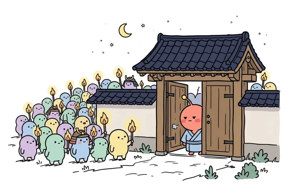 The Honnoji IncidentThe Honnoji Incident happened in 1582.
 Sankin-kotaiSankin-kotai was an Edo-period system where lords, the daimyo, went back and forth between Edo and their own lands every…
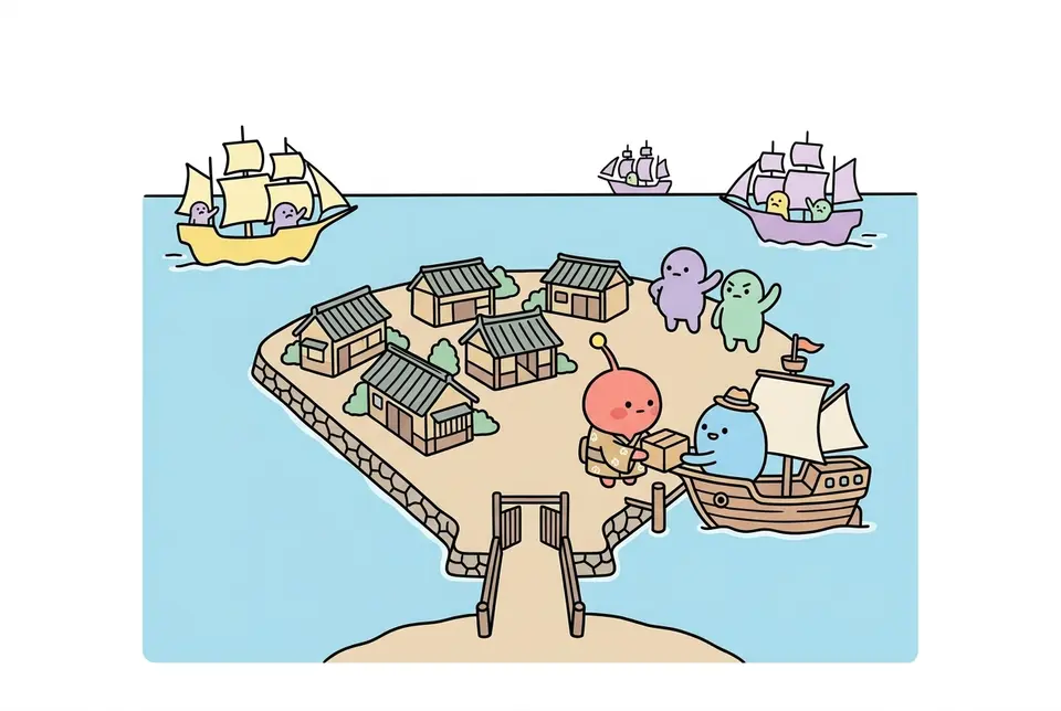 SakokuSakoku was the state of things in the Edo period, when the shogunate strictly limited travel and trade with other countr…
 DejimaQ. Was Dejima a natural island?
A. It was not a natural island. It was a man-made island built by filli…Each childat theirown pace.TerakoyaA terakoya was a place in the Edo period where town and village kids learned reading, writing and the abacus. Teachers came from all walks of life. Some were mo…
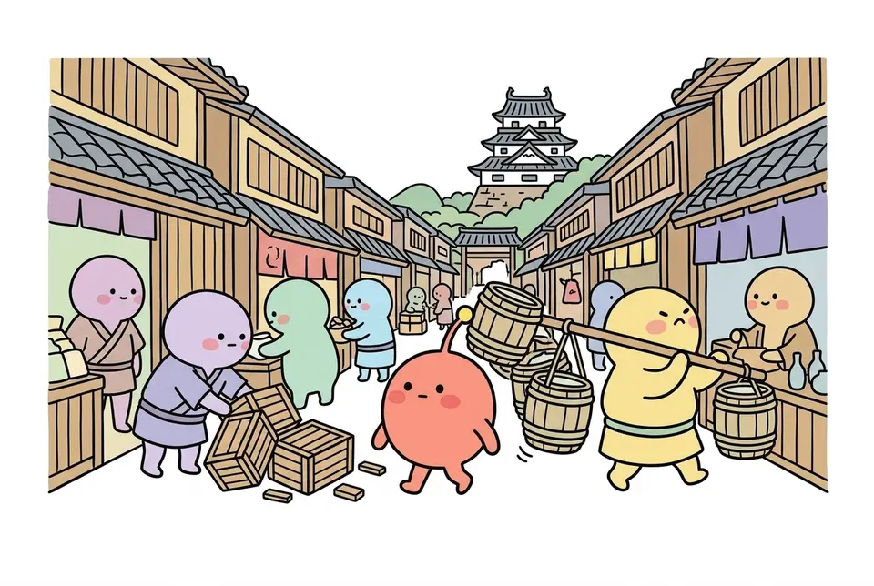 The city of EdoEdo grew into Japan's center of government after Tokugawa Ieyasu set up his shogunate there.
 Chushingura (the 47 ronin)Q. Is Chushingura the name of the real event?
A. Chushingura is not the name of the real event. The real event is cal…
 NinjaNinja were people in Japan, from the warring states era into the Edo period, who did spying,…
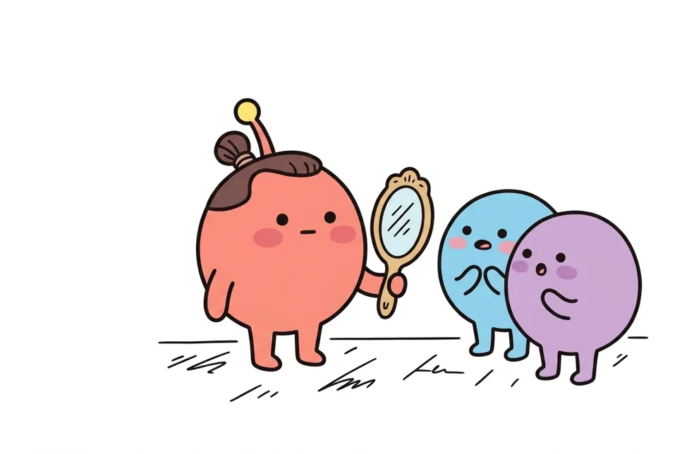 Chonmage (topknot)Chonmage is a topknot hairstyle common among men in Edo-period Japan. The front and top of t…
Source (in Japanese): Wikipediaで「伊能忠敬の日本地図」を調べる